The NJTPA hosted its seventh annual Tech Tools for Planning Expo showcasing four innovative applications that have been deployed or are now being developed in the region. More than 80 people attended the virtual event today.
The following tools were featured:
- Esri ArcGIS Hub Initiative Sites
- Rutgers University’s NJ Flood Mapper tool
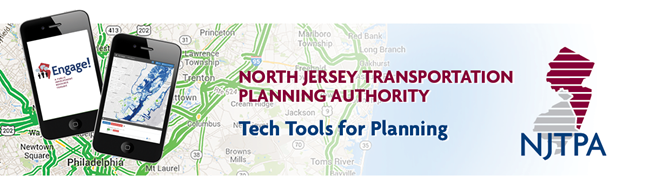
- NJTPA’s Engage! public engagement toolkit
- NJ TRANSIT’s NJ Land Use + Transit Data Application
“These innovations make it possible for us to do more effective and efficient transportation planning work,” said NJTPA Executive Director Mary D. Ameen in her welcoming remarks, noting that the expo’s virtual format enabled more people than ever to participate. (Blog post continues below event video)
Gabrielle Fausel, NJTPA staff, gave a presentation on the NJTPA’s use of Esri ArcGIS Hub initiatives on various projects and programs. It’s an easy-to-configure community engagement platform that organizes people, data, and tools through information-driven initiatives. To date, the NJTPA has successfully launched several Hub-based initiatives including the
Open Data Portal,
Metropolitan Area Planning Forum, Local Concept Development studies, and
Plan 2050 (the NJTPA’s next Long Range Transportation Plan). These initiatives provide data, information on upcoming events, and interactive maps and applications to support community engagement and data exchange.
Next, Rutgers University’s Lucas Marxen demonstrated the NJ Flood Mapper interactive tool (
https://www.njfloodmapper.org/). The tool allows users to analyze flood exposure based on the best available science for sea level rise and other parameters, including Hurricane Sandy surge, FEMA flood zones, and more. Marxen said this application was designed and created to provide a user-friendly visualization tool for those who make coastal decisions. It can be used to promote enhanced resilience and land use planning decisions with considerations for possible future conditions.
Ted Ritter, NJTPA staff, highlighted upgrades to the agency’s Engage! public outreach database, which was developed with help from Rutgers University’s Voorhees Transportation Center (VTC). The interactive toolkit allows users to search through 200 innovative public engagement strategies. Approaches and tools range from best practices to specific methods or platforms to conduct research and obtain valuable input from stakeholders and the public. Users can set search parameters for audience, place-type, budget, timeframe, or even type of project. New additions to the database include reports from focus groups, interviews with public services providers, and tools designed for virtual public engagement. Engage is available at
https://njtpa.org/engage.
Finally, Marxen and Rutgers-VTC Executive Director Jon Carnegie presented the second generation of the NJ Land Use + Transit Data Application (
https://njlutrans.org/). The application, first launched in 2017 and allows users to map, report, and download a range of land use, travel, public transit, demographic, and real estate development data. The 2.0 version of this tool will be available later this spring and will feature a new user interface, updated data, including local development data for municipalities in Bergen, Hudson, and Passaic counties, plus the City of Newark, and high-frequency bus corridors statewide. In addition, several new tools are designed for corridor planning, assessing transit-oriented development opportunities, analyzing flood exposure; and visualizing social justice data. Marxen and Carnegie previewed the app’s new layout, data, and data exploration functions.